Sites
Focusing on species alone is not enough. To protect birds, we need to protect the places they live and travel through.
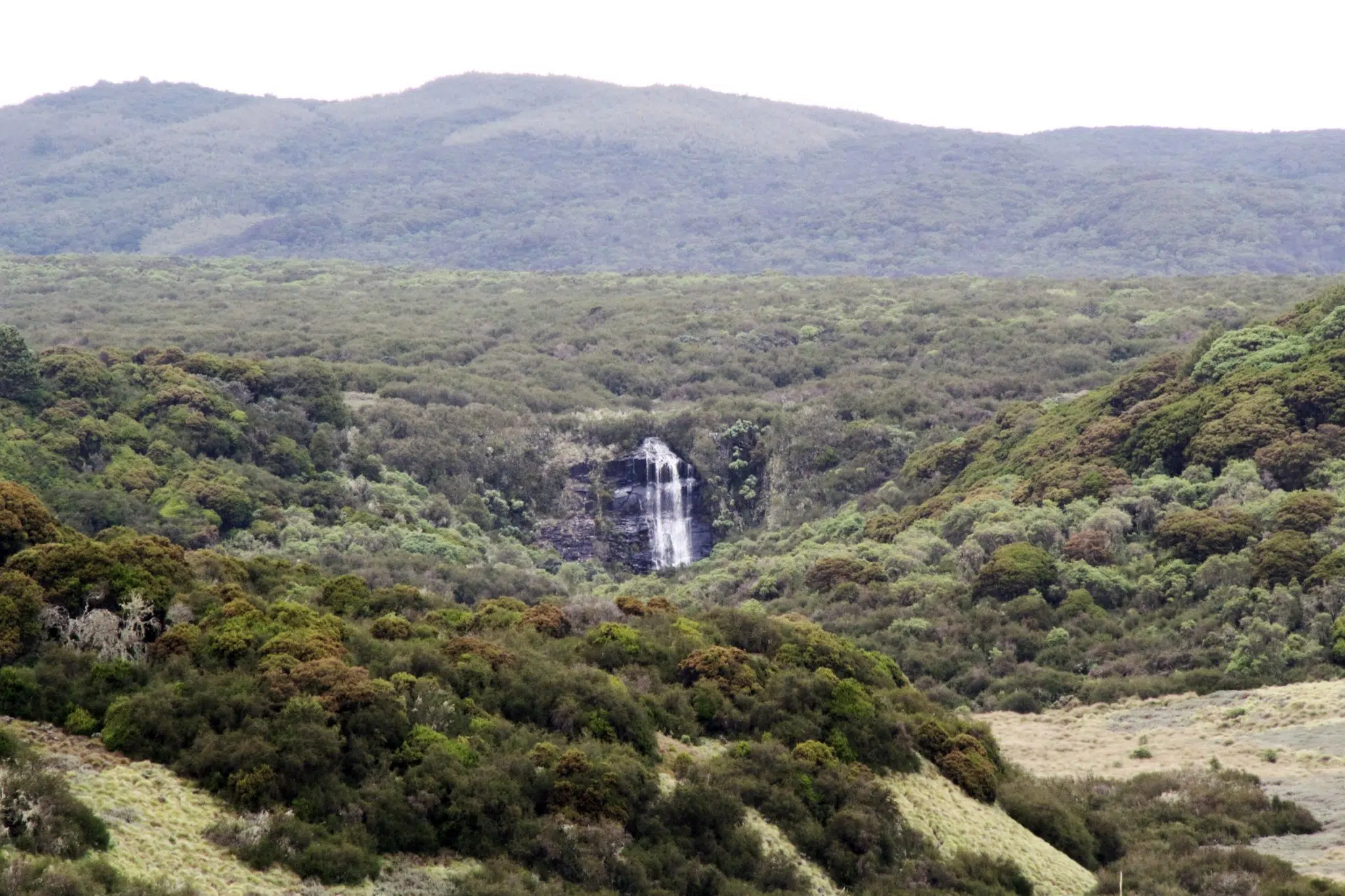
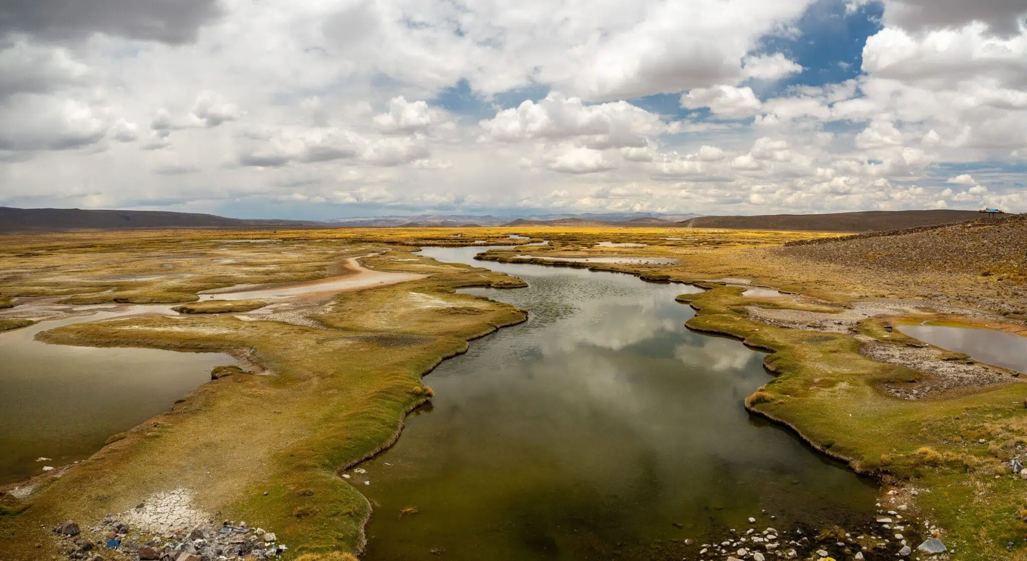
Important Bird and Biodiversity Areas (IBAs) are the most important sites for the conservation of birds identified using standard scientific criteria. BirdLife has documented over 13,000 IBAs across the world, which are the focus of the IBA programme coordinated by the Secretariat and implemented by Partners.
IBAs are also Key Biodiversity Areas (KBAs): vital habitats for nature, birds and all species. BirdLife is a founding member of the KBA Partnership, an alliance of the 13 largest conservation organizations of the world, who are working to identify, document and promote KBAs globally.
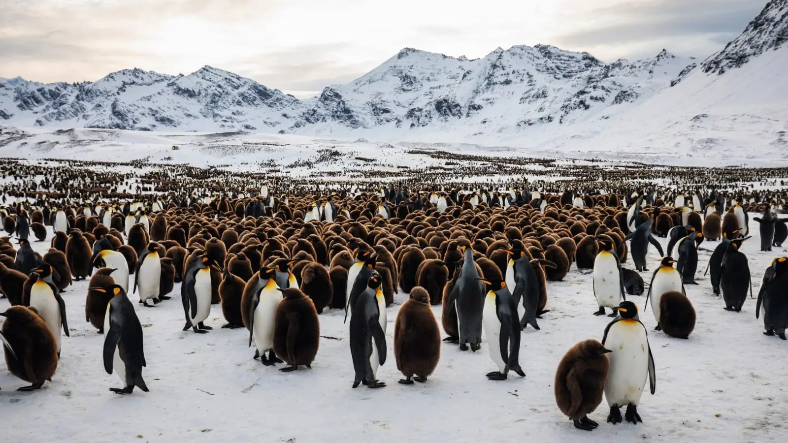
Less than half of all IBAs are protected and many are facing a wide range of issues that threaten their very survival.
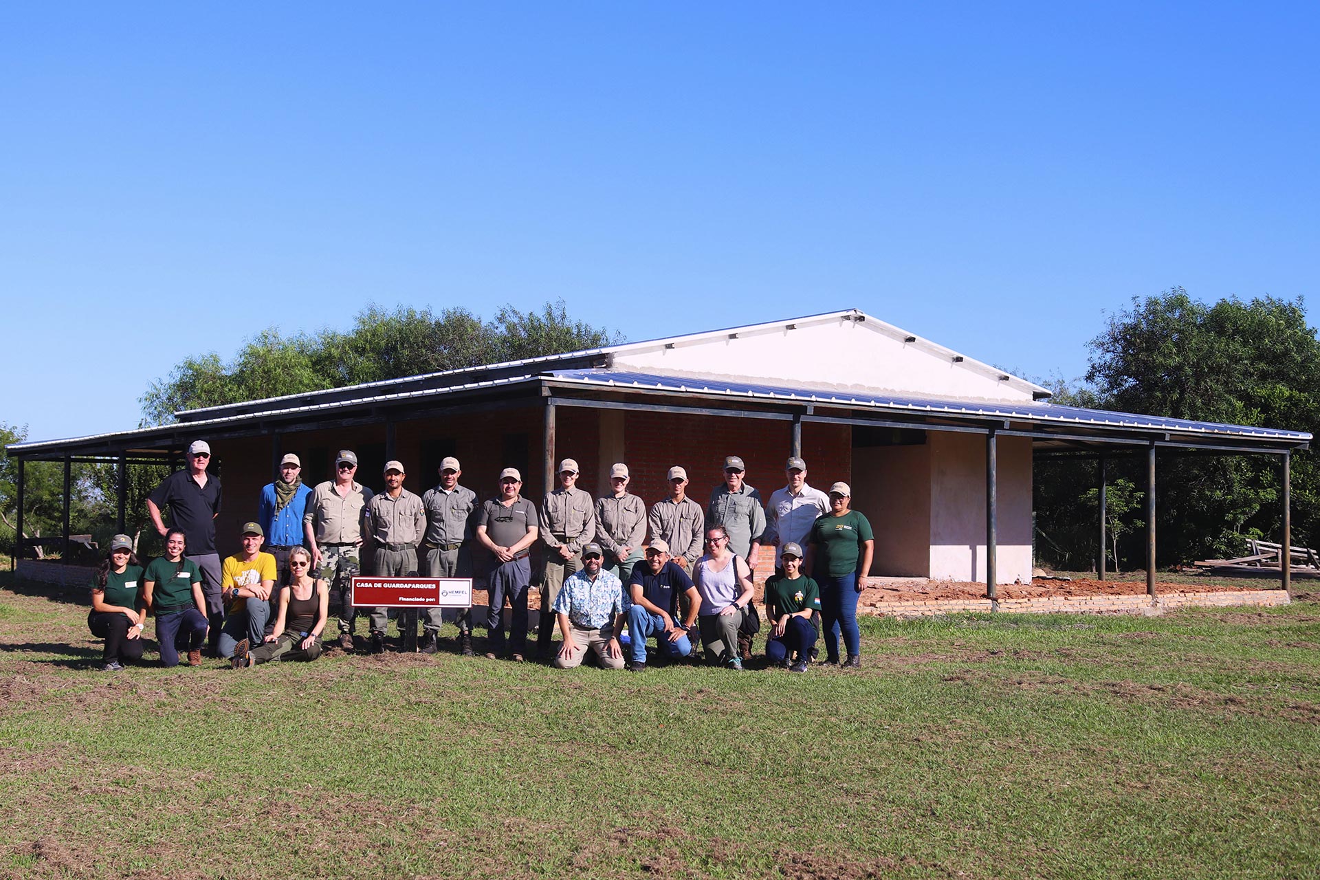
We are therefore committed to the ongoing monitoring and conservation of this network of integrated sites. We strive to ensure the connectedness, protection, management and restoration of IBAs and KBAs across priority landscapes, seascapes and migratory flyways – connecting nations, regions and continents, and the entire globe. For this work, we rely on thousands of local conservation groups made up of volunteers and communities committed to safeguard these sites for future generations.
Related Projects


Latest news